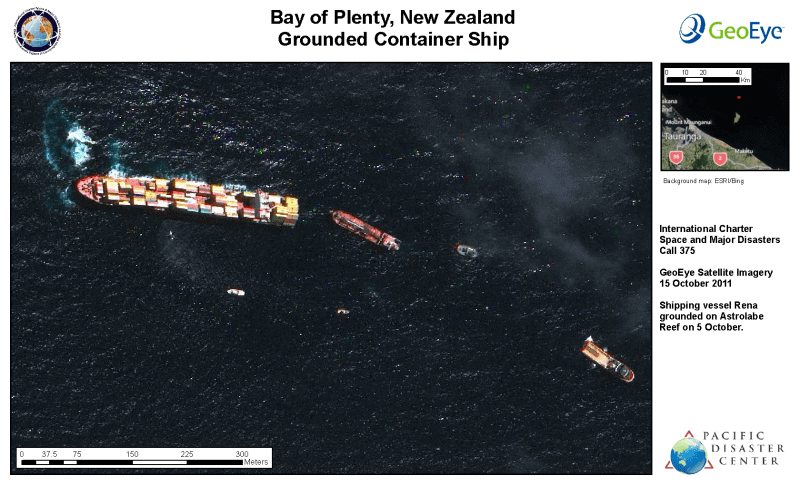
Maritime Disaster Leads to the Activation of the Space and Major Disasters International Charter
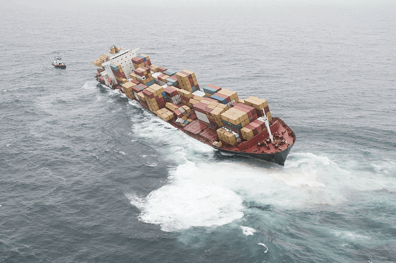
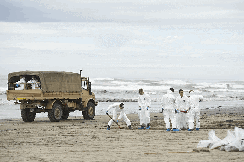
When hazardous materials are released into the environment they can pose significant threats to public health and require costly environmental remediation. On October 5, 2011, the container ship MV Rena ran aground on the Astrolabe Reef off the port of Tauranga, New Zealand. An estimated 350 tons of oil leaked into the Bay of Plenty’s pristine waters, making the spill the worst maritime environmental disaster in New Zealand’s history.
In an effort to detect pollution and minimize environmental damage, the U.S. Geological Survey (USGS) requested an activation of the International Charter, a global collaboration that provides rapid access to satellite data to help manage natural and technological disasters. The USGS appointed PDC to manage the project. Working in cooperation with Charter members and the Marine Environment Division of Australia, PDC communicated with Maritime New Zealand to clarify data requirements, coordinated acquisition of relevant data with satellite imagery providers, and processed raw images into usable formats. The satellite imagery provided via the Charter activation was critical to identifying the spread of oil and floating debris, which helped mitigate a potentially larger environmental disaster.