Since forming as a tropical depression in the northwestern Pacific Ocean early December 11 (local time), Tropical Cyclone Melor has intensified into a tropical storm, and is tracking toward the Philippines. As of the most recent advisory from the Joint Typhoon Warning Center on December 12 (0300 UTC), Melor is located approximately 192 miles north of Koror, Palau.
Known locally in the Philippines as Nona, Melor is expected to further strengthen before making landfall over the central Philippines as a typhoon by early next week. Upon landfall, Melor is forecast to slow down as it tracks west across the island nation towards Manila, one of the world’s most densely populated cities in the world. The storm will continue to bring heavy rainfall and strong winds through Wednesday.
The Philippine Atmospheric, Geophysical, and Astronomical Services Administration (PAGASA) has begun issuing severe weather bulletins, and is advising the public to take appropriate action to prepare for the effects of Melor. The Philippines’ National Disaster Risk Reduction and Management Council (NDRRMC) has also advised local-level disaster risk reduction and management councils to initiate pre-emptive evacuations of families in low-lying and mountainous areas as needed ahead of the typhoon.
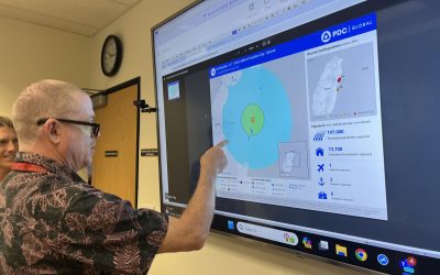
The Pacific Disaster Center is closely monitoring Tropical Cyclone Melor as it approaches the Philippines, and will provide decision support and situational awareness products for the duration of the event. Keep up with the latest information via PDC’s Global Hazards Atlas, or with the Disaster Alert™ mobile application. If you are an emergency manager or humanitarian assistance practitioner and would like access to PDC’s DisasterAWARE (EMOPS) platform, click here for more information.
For more information:
- View the EMOPS Area Brief