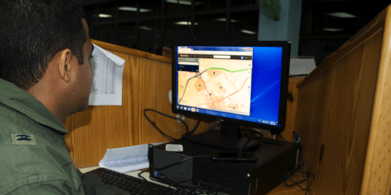
The Geospatial capabilities for Security, Humanitarian Assistance and Partnership Engagement (GeoSHAPE) has resulted in new mapping technology for creating, versioning, updating, and replicating geospatial data. Designed to facilitate collaboration on geospatial information, GeoSHAPE technology integrates data from multiple sources, including a geospatial portal (GeoNode), a web mapping client (MapLoom), and a mobile application (Arbiter), and displays the results in a dynamic Internet-based map. The information compiled on the map facilitates improved situational awareness and decision making during humanitarian assistance and disaster relief situations.
GeoSHAPE was developed under the management of the U.S. Southern Command’s (SOUTHCOM) Science, Technology and Experimentation Division. SOUTHCOM, the National Emergency Commission of the Dominican Republic (NEC), and the United Nations Platform for Space-based Information for Disaster Management and Emergency Response (UN-SPIDER) programme conducted a final GeoSHAPE demonstration, July 28 to 31. The demonstration simulated a hurricane scenario to confirm the tool’s operational usefulness. The simulation also integrated GeoSHAPE into the routine procedures of the Dominican Republic’s National Emergency Operations Center.
This was the third and final operational demonstration (OD3) for the Department of Defense (DoD) Joint Capability Technology Demonstration (JCTD) project called Rapid Open Geospatial User-driven Enterprise (ROGUE). OD3 is the follow-up to an exercise conducted in Tegucigalpa, Honduras, and Soto Cano Air Base in June, in which GeoSHAPE was used to enhance coordination and efficiency of simulated emergency response efforts.
As transition manager for the ROGUE JCTD, Pacific Disaster Center (PDC) integrated the GeoSHAPE technology into its DisasterAWARE/Emergency Operations (EMOPS) system for all three operational demonstrations. The scenarios tested the capability to collect geospatial data from users with mobile devices performing field damage assessments, as well as from data entered by operators in an emergency operation center. Those data were then replicated to multiple agencies automatically and in real time, including to PDC, where the features were displayed in EMOPS. The hurricane exercise demonstrated how a “GeoSHAPE-enabled” DisasterAWARE system can successfully support disaster operations within the Dominican Republic and elsewhere. Throughout OD3, PDC Liaison to SOUTHCOM Darron Pustam provided support and guidance on DisasterAWARE to the SOUTHCOM Science and Technology team.
Upon successful evaluation, GeoSHAPE will be incorporated into PDC’s DisasterAWARE platform, which is known for providing continuous up-to-the minute hazard information globally and functioning as a hub for accessing, updating, and sharing relevant data before, during, and after a disaster.
Learn more about the event and GeoSHAPE with these resources:
• Visit the GeoSHAPE website,
• Look at the UNSPIDER’s event article,
• View an article from Star-Tides,
• See photos from the U.S. Embassy in Dominican Repbulic’s Facebook page,
• Watch a video on GeoSHAPE software testing, or other demonstrations from the exercise on UAV, COMCUBE, or UAS,
• Read about the second operational demonstration in Honduras,
• Read about the first ROGUE operational demonstration last year,
• View the ROGUE-JCTD white paper (February 2013), or
• View more information in SOUTHCOM’s ROGUE project.

