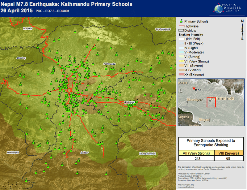
As part of ongoing preparedness activities, many involved agencies and organizations within Nepal and the international community have been building and enhancing data resources to ensure information is available for disaster response, recovery, and future risk reduction activities.
For the last three years, Pacific Disaster Center (PDC) has been working with Nepal to enhance the countries GIS and data capacity. As part of an initiative to implement tools and methods for integrating available geospatial data holdings, PDC’s DisasterAWARE EMOPS system offers emergency managers access to shared information and interagency updates.
EMOPS users are able to combine baseline data, such as information for borders, districts, wards, and fundamental infrastructure, with other available dynamic data such as aftershocks to support decision-making. PDC is also receiving requests for data and information via response@pdc.org.
Along with information sharing offered through DisasterAWARE, PDC also hosts a web-accessible catalog of data available from partners of the Global Hazards Information Network (GHIN), which is a partnership of national and international organizations providing decision makers access to high-quality geospatial information for risk assessment, early warning, response, and other disaster management related activities.
Learn more:
- EMOPS account, or
- About GHIN or becoming a Network partner

