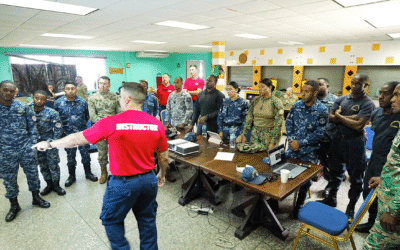
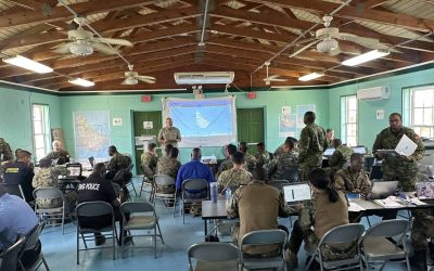
NASA is a critical source of scientific data for disaster management decision makers around the world. It provides near real-time imagery and remote sensing products to help detect global precipitation, fires, potential landslides, and numerous other atmospheric, oceanic, land, and water events. To support various applications of this data in daily decision making, NASA provides an Applied Remote Sensing Training (ARSET) to educate disaster managers, policymakers, nongovernmental organizations (NGOs), and other applied science professionals. This year’s training titled, “Earth Observations for Disaster Risk Assessment and Resilience,” took place on August 15, 2019 and was hosted in partnership with the Pacific Disaster Center (PDC). It marked the tenth anniversary of the NASA ARSET program, which has garnered close to 28,000 participants over its lifetime. The training focused on the use of Earth observational data in disaster risk assessment—including a key section developed by PDC on the operational applications of remote sensing for disaster management. PDC is a global applied science and technology center managed by the University of Hawaii that works with countries around the world at the national, subnational, and local level to reduce disaster risk, build resilience, and save lives.
“PDC relies heavily on current, timely, and reliable information provided by NASA’s remote Earth observations and models, as well as other scientific data sources. As a global organization that supports disaster response, planning, preparedness, and recovery worldwide, we were happy to be invited to share our scientific applications in disaster response operations,” said PDC’s Disaster Management Specialist and Response Lead Michael Chatman who co-chaired the presentation with PDC’s Director of Applied Science Dr. Joseph Green.
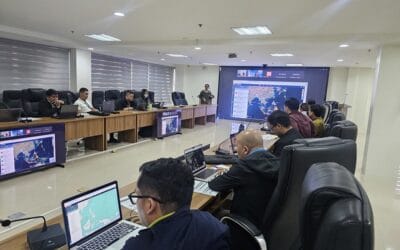
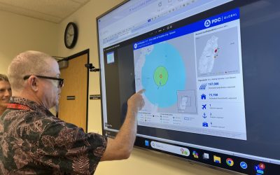
According to Dr. Green, who presented on PDC’s strategies for disaster risk reduction and risk assessment, “NASA’s remote sensing data is fully integrated into our risk assessment products and methodologies, as well as our DisasterAWARE decision support platform—a system used by more than 65 nations to support informed decision making, humanitarian assistance, and disaster relief.” Dr. Green described how NASA’s near-global, past, present, and forecast hazard data is used in combination with PDC’s subnational risk and vulnerability data to provide more accurate disaster risk assessment. He illustrated how the combination of this type of data was used to assess, predict, and help contain the spread of the Zika Virus.
NASA’s Sean McCartney (Senior Scientific Analyst, SSAI) with the NASA Goddard Space Flight Center described the benefit of combining local data with NASA’s satellite data saying, “A major factor in risk assessment is evaluating the vulnerability of lives and property to disasters. Environmental information about hazards, their spatial impact, socioeconomic impact, and their temporal evolution play an important role as well.”
The training was attended by more than 940 participants from over 100 countries. Participants came from more than 800 organizations across local, state, federal, regional, and international organizations. The entire four-part series is accessible to anyone online at: https://go.nasa.gov/2zgnYyV.